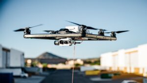
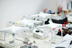
About Us
Our Business Gives Your Business A New Perspective....
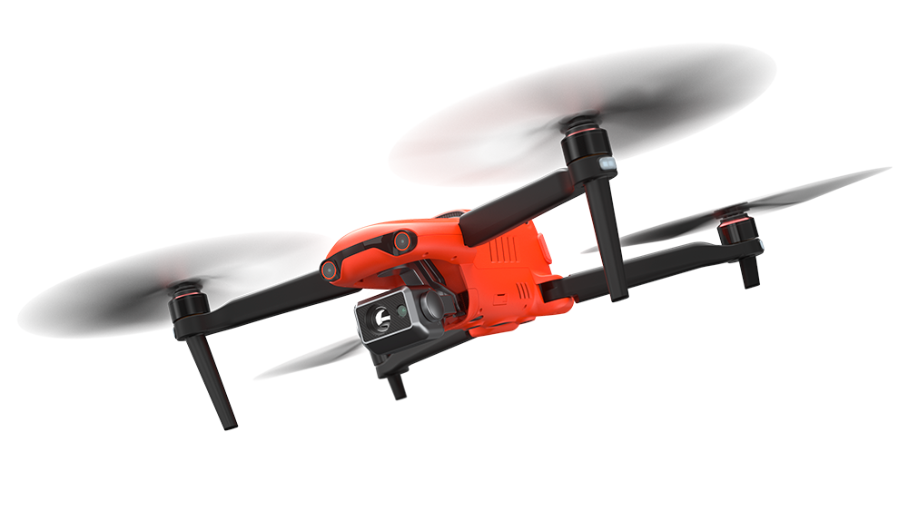
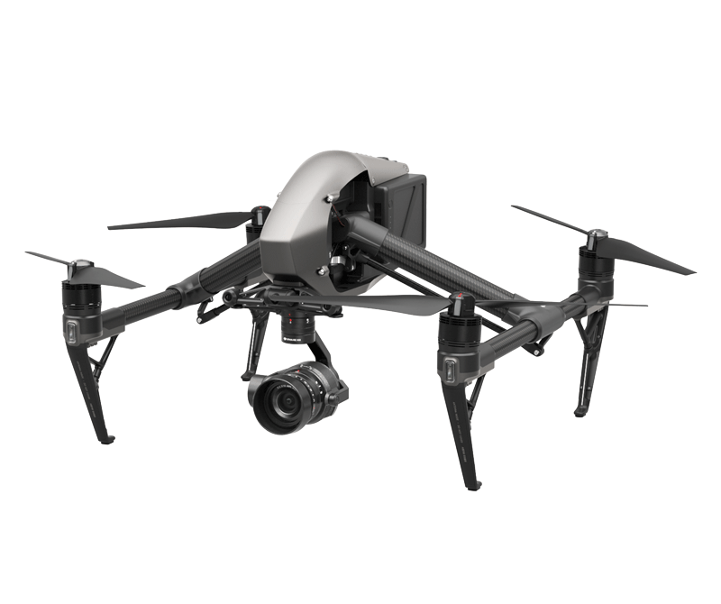
Through Aerial UAV Technology Integration & Services...
1UP Aerial Drone Services, (a subsidiary of AiGi ) headquartered in Houston, Texas provides services to a wide range of industries including: