LiDAR may be an unfamiliar term, but the technology has been around for decades. It has only been perfected within the last 50 years with advancements in software and technology. Most recently, its adaptation with modern GPS and UAVs has made it a prime tool for numerous industries.
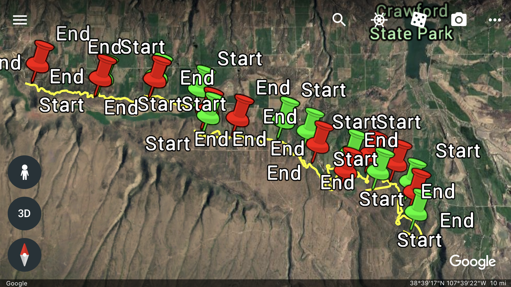
Before diving into the technology and use cases, let us give you a quick example of a 1UP LiDAR fly through of a 15-mile canal rehabilitation that we recently completed for the Applegate Group just outside of Crawford, Colorado. Check out this LiDAR sample: https://youtu.be/JC_ZKlX1i-E.
What is LiDAR?
LiDAR is a special combination word that stands for “light detection and ranging.” The underlying principle is based on using laser light beams to bounce from objects to calculate precise distances. Light travels at 186,282 miles per second. Knowing this constant, we can measure how fast the laser travels from its source to an object and back again (distance = speed of light x time of flight / 2).
LiDAR’s earlier use over longer distances was restricted to airplanes in flight. Software enabled scanners to interrogate the earth’s surface beneath the aircraft several times in a second and measure the time to return, then calculate the distance. This technology was in widespread use as early as the 1960s.
With the advent of GPS and satellite technology during the 1980s, LiDAR became popularly used in calculating geospatial measurements. As GPS technology improved, more accurate measurements have become possible.
Types of LiDAR Systems
Modern LiDAR applications are generally separated into two categories, each with specific uses in various industries.
Terrestrial LiDAR
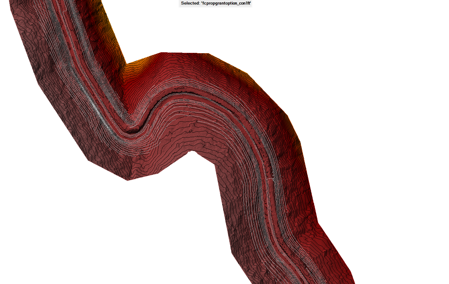
Terrestrial LiDAR, as the name suggests, is ground-based, either from stationary platforms (Static LiDAR) or mounted to moving vehicles (Mobile LiDAR). These are quite common in construction, real estate, civil engineering and other related industries. Hyper-accurate measurements are possible when constructing roads, buildings, surveying land and analyzing spaces or infrastructure.
Airborne LiDAR
Airborne LiDAR allows for additional mobility when collecting data. Frequently attached to helicopters or drones, the airborne LiDAR unit emits a laser toward the ground and calculates the time it takes to return, providing precise measurements of distance. Airborne LiDAR is also divided into two sub-categories:
- Topological LiDAR uses infrared or near-infrared light to measure distances on land.
- Bathymetric LiDAR uses green light to penetrate water and measure seafloor and other underwater areas.
Using LiDAR Drones in Industry
Modern applications for LiDAR drones continue to expand as new uses are realized. Everything from agriculture to mining to telecommunications to security to real estate to the military has found LiDAR drones to be exceptional tools for measurement, mapping, inspection, evaluation and more.
Here are just a few samples from various industries:
Mining
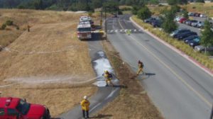
LiDAR-equipped drones can be programmed to inspect and collect data after programmed explosions underground, determining safety before any humans are put at risk. They may also provide precise measurements for cut, fill, volume of mining stockpiles and operations for asset management, and inventory purposes.
Archaeology
LiDAR drones can collect data to virtually map archaeological sites in 3D in just a few hours, compared to manual measurements and surveys that could require weeks.
Agriculture
Mapping out farming landscapes is a breeze with LiDAR drones. Create 3D models and plan irrigation projects, planting cycles, fertilization requirements and more.
Construction
Terrain modeling is made easier with LiDAR drones. Map out your entire construction site and calculate how much dirt must be moved where, down to the cubic inch.
Accident Investigation
LiDAR drones are now routinely used by many law enforcement agencies and insurance companies to investigate accident scenes. Precise data can be obtained quickly and safely, without polluting the scene, and not slowing down cleanup efforts.
Land Management
LiDAR drones can quickly obtain accurate measurements and other data to plan for flooding prevention and other land management projects.
Oceanography
Calculating precise distances to objects underwater is no longer a cumbersome task with LiDAR drones. Some scientific plant data can also be calculated using laser light.
Military
Planning for military operations is made faster by gathering precise data with LiDAR drones. Plus, this data collection is stealthy, not giving away unit movements or scouting. For example, tanks hidden behind foliage can now be uncovered by “filtering” the data to exclude trees to directly see the tank.
Contracting or Purchasing a LiDAR Drone
1UP Aerial Drone Services provides contract LiDAR Drone services for various industries and applications. We can also provide training and equipment for your company, so it can have its own trained LiDAR drone operations. A trained drone specialist from 1UP Drones would be happy to explain more about training, drones, LiDAR applications and more.
Contact 1UP Aerial Drone Services in Denver, CO for more information.