Description
*Kit does not come with DLS 2 or CRP
*RedEdge-M with DLS 2 upgrade or RedEdge-MX required
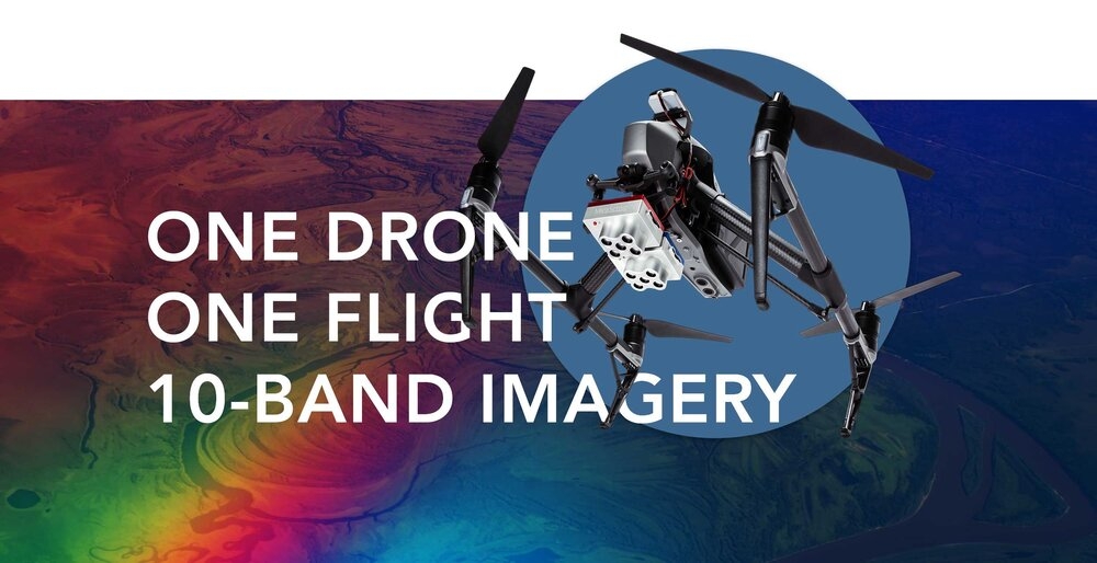
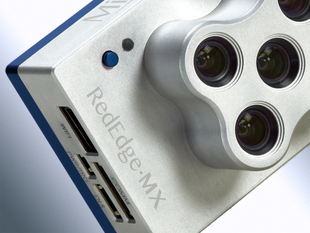
Introducing the RedEdge-MX Dual Camera Imaging System: Double the spectral resolution with half the hassle.
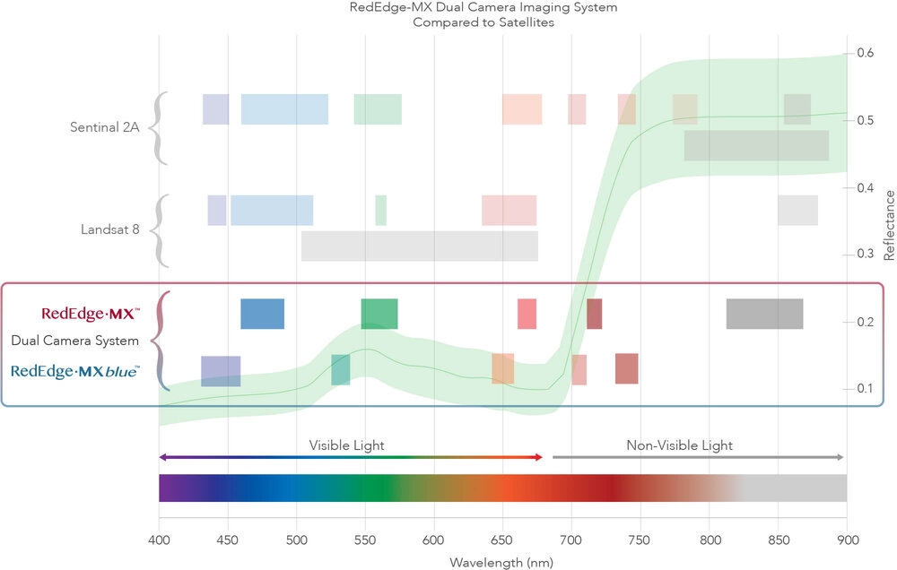
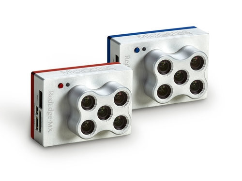
The RedEdge-MX Dual Camera Imaging System is a synchronized 10 band solution for advanced remote sensing and agricultural research. This solution seamlessly integrates two five band cameras, the RedEdge-MX and the new RedEdge-MX Blue, capturing 10 band imagery in one flight. The first to enable direct comparison between drone and satellite imagery, this solution includes narrow waveband filters that mirror Landsat and Sentinel satellites. Double the bands means double the analytical capabilities: monitor shallow water environments with the new coastal blue aerosol band or perform detailed analysis on chlorophyll efficiency or the red edge slope with new red, green and two new red edge bands.
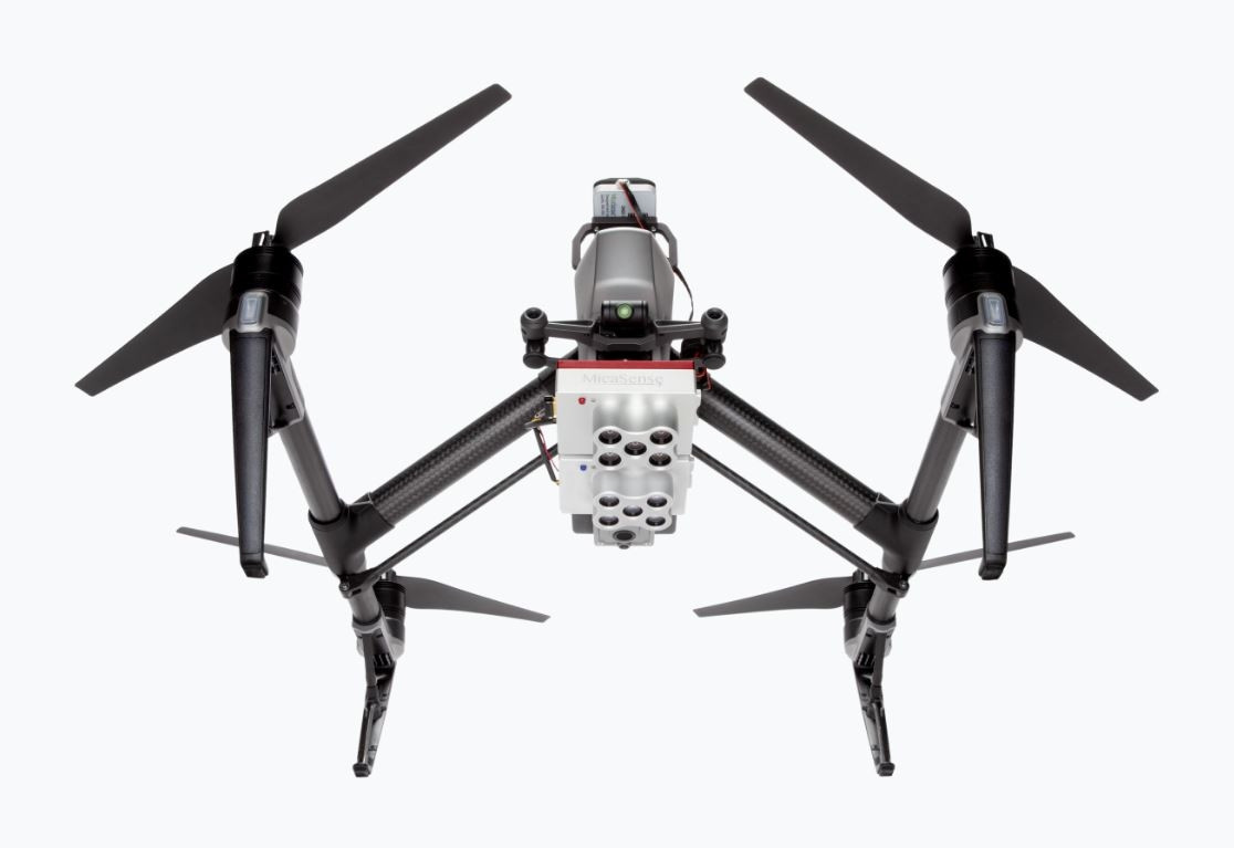
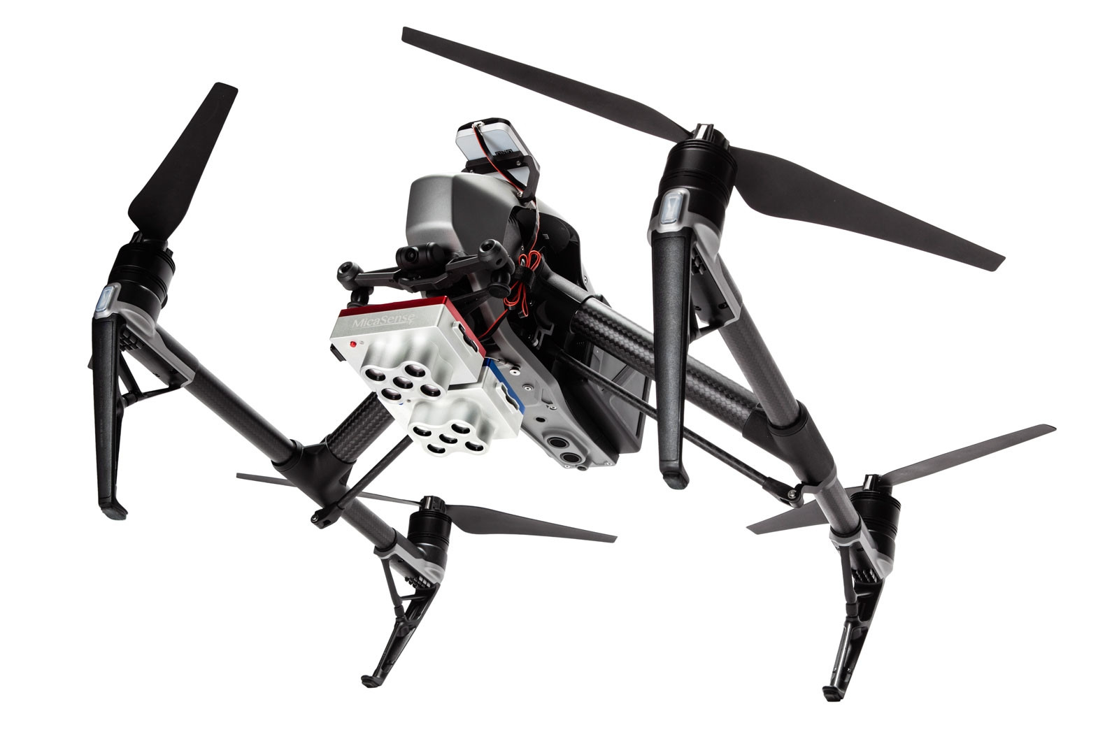
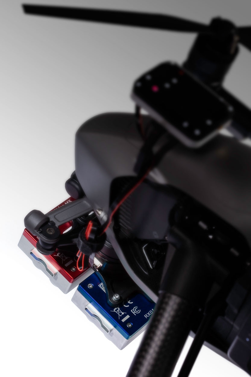
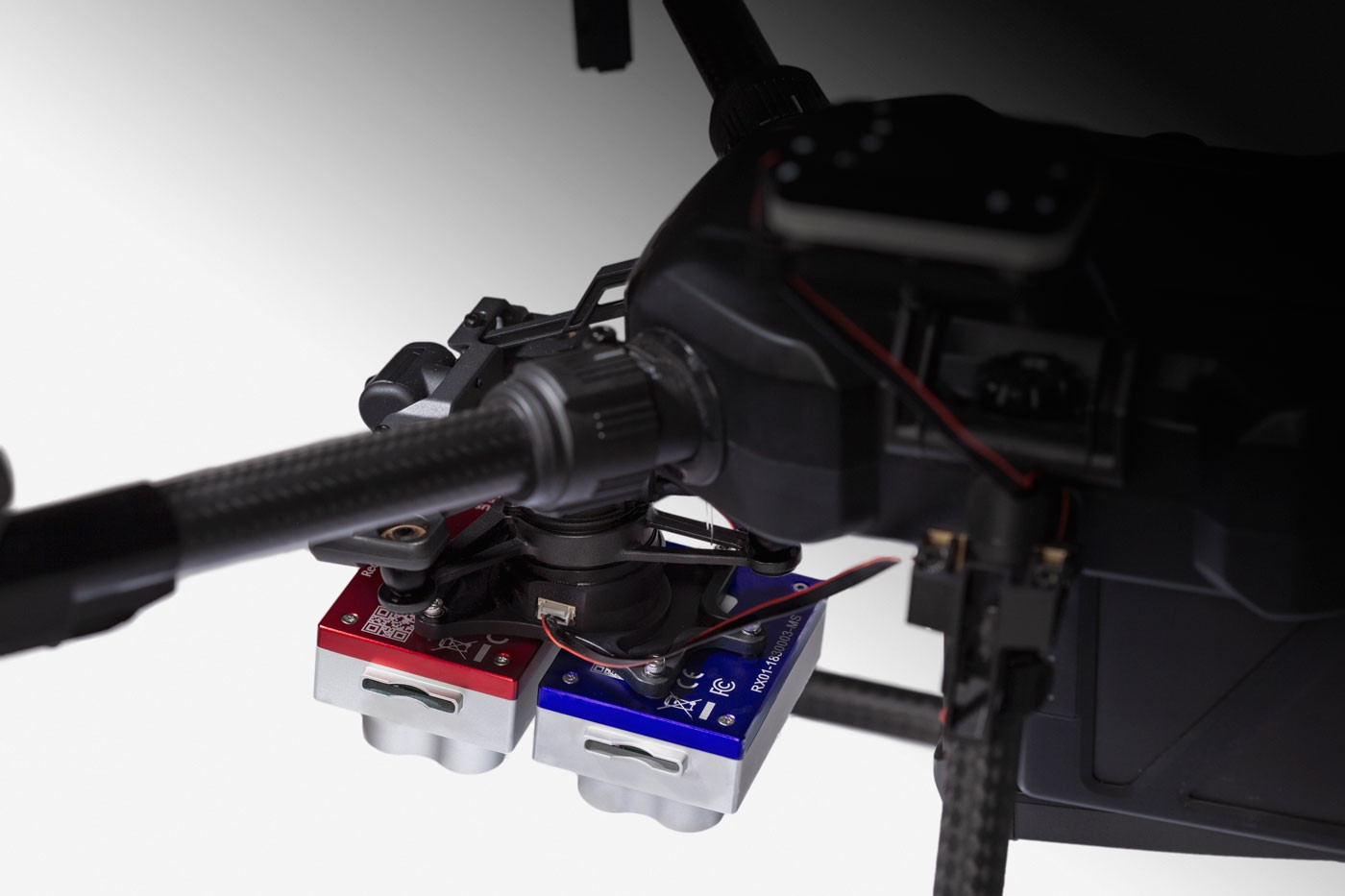
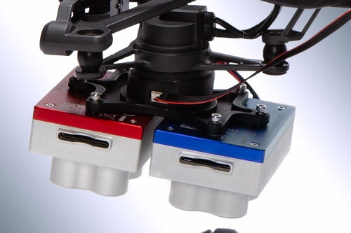
Flying two cameras is as easy as flying one: An integration kit comes standard and already attached, enabling quick-mount integration with DJI drones. Flight planning can be done using the same tools as with RedEdge-MX. Standard data processing workflows from Pix4D, Agisoft, and other MicaSense data partners enable creation of 10 band, pixel-aligned datasets suitable for extensive analysis.
Same drone. Same workflow. Now with 10-band imagery.
- Synchronized capture of all 10 bands
- Works with the drone and software you already have
- DJI Quick Mount kit comes already attached
- Features RedEdge-MX Blue – a new version of RedEdge-MX with a new group of filters
Introducing RedEdge-MX Blue
The performance you rely on from RedEdge-MX, with a new coastal blue band, a new green band, and three new bands in the red to red-edge region of the spectrum
Direct data comparison between satellite and drone imagery
Features
- Captures 10 narrow wavebands enabling advanced research applications
- Synchronized capture of all 10 bands for pixel aligned imagery
- Features RedEdge-MX Blue, a new version of RedEdge-MX that includes an additional group of filters
- Includes standard bands of RedEdge-MX, plus a new coastal blue band, a new green band, and three new bands in the red to red-edge region of the spectrum
- Standard 12 bit TIFF file outputs with embedded metadata for full access to raw data
- Combined Downwelling Light Sensor and GPS for streamlined integration, accurate ambient light calibration. Only one DLS required.
- Radiometrically calibrated spectral imagers for precise, repeatable measurements.
- Global shutters on all 10 lenses for distortion-free results on every platform.
- Comes standard with fixed bracket and quick mount connector for easy integration with DJI drones
* Options for integration with fixed wing drones.
* Options for customers who already have a RedEdge-MX or RedEdge-M.
Benefits
- Compare imagery directly with Landsat and Sentinel satellite data
- Data is easily processed using Pix4D, Agisoft and other MicaSense data partners
- Double the bands for double the analytical capabilities
- Monitor shallow water environments with the new coastal blue aerosol band
- Perform detailed analysis on chlorophyll efficiency or the red edge slope with new red, green and two new red edge bands
- Works with the equipment you already have – compatible with DJI drones, standard flight planning tools and data processing platforms
In The Box:
- RedEdge-MX Blue sensor
- Lens cover
- Cables
- Mounting screws
- Mounting Plate with Quick Connector
- Hard carrying case
*Kit does not come with DLS 2 or CRP *RedEdge-M with DLS 2 upgrade or RedEdge-MX required
Reviews
There are no reviews yet.